Proiectul Twinning finanțat de UE continuă să sprijine Agenția Relații Funciare și Cadastru din Republica Moldova
Pe parcursul lunilor martie – mai 2021, proiectul Twinning ”Îmbunătățirea serviciilor de date spațiale în Republica Moldova conform standardelor UE” a implementat o serie de activități în conformitate cu Planul de Lucru și a desfășurat cea de-a 3-a reuniune a Comitetului de Guvernare a Proiectului.
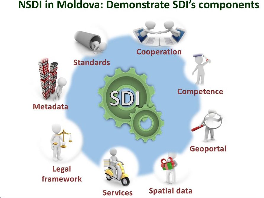
În cadrul Componentei 1, Crearea unei guvernări durabile a INDS, lucrul s-a axat pe acordarea sprijinului Agenției Relații Funciare și Cadastru (ARFC) la dezvoltarea cadrului strategic și sporirea cunoștințelor și a înțelegerii entităților publice responsabile de infrastructura națională de date spațiale (în continuare – INDS) referitor la managementul și interoperabilitatea datelor spațiale și a serviciilor:
- A fost elaborat în continuare proiectul de Program de Stat în domeniul INDS și Planului de Acțiuni aferent, în special partea ce ține de obiectivele generale și specifice, precum și indicatorii de performanță. Ambele documente urmează a fi completate, ținând cont de rigorile Hotărârii de Guvern 386/2020 cu privire la planificarea, elaborarea, aprobarea, implementarea, monitorizarea și evaluarea documentelor de politici publice,
- Au fost organizate un șir de întrevederi online cu entitățile publice responsabile de INDS, având drept scop identificarea capacităților tehnice, financiare și de resurse umane ale acestor instituții în procesul de management al datelor spațiale deținute de aceste instituții. La fel, ședințele au servit drept oportunitate de familiarizare a specialiștilor cu conceptul de interoperabilitate a datelor spațiale și serviciilor.
În cadrul Componentei 3, Utilizarea datelor existente în cadrul INDS este posibilă, activitățile relevante au inclus:
- Definitivarea și prezentarea Ghidului privind georeferențierea către ARFC și părțile interesante INDS, cu detalierea întregului proces de lucru, compararea echipamentelor/softurilor existente pe piață și efectuarea analizei costurilor, in baza experienței din Croația,
- Inițierea activității de elaborare a Ghidului privind specificațiile de date în baza Directivei INSPIRE și standardelor ISO asociate,
- Inițierea activității de elaborare a Ghidului privind modelele de date.
Ca urmare a pregătirii unui program intensiv de instruire și a elaborării materialelor didactice, a fost desfășurat un curs de instruire extensiv cu durata de 35 ore la tema ”Introducere în Infrastructura de Date Spațiale și QGIS*”, în format online. În total, patru grupuri cu un număr de 102 participanți au beneficiat de acest curs în perioada 12-23 aprilie si 17-28 mai 2021, având drept grup-țintă specialiștii GIS de la autoritățile publice centrale și Primăria Chișinău. Toți participanții au primit certificate de participare.
La cea de-a treia reuniune a Comitetului de Guvernare a proiectului organizată la 21 aprilie 2021, participanții au aprobat în unanimitate al doilea raport trimestrial și planul de lucru în desfășurare pentru următoarea perioadă.
*Note:
- QGIS este o aplicație GIS profesională bazată pe aplicații gratuite, fiind totodată un soft gratuit și cu sursă deschisă.
- GIS este acronimul provenit de la Geographic Information System (Sistem Informațional Geografic);