Sprijinul UE pentru Agenția Relații Funciare și Cadastru din Republica Moldova: rezultate și pași următori
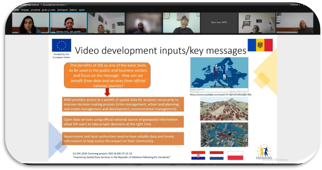
Lunile septembrie și octombrie 2021 au fost pline de activități în cadrul proiectului Twinning „Îmbunătățirea serviciilor de date spațiale în Republica Moldova conform standardelor UE”, finanțat de Uniunea Europeană.
Suplimentar la cea de-a 5-a ședință a Comitetului de Guvernare a proiectului organizată în această perioadă, au fost desfășurate misiuni în 4 din cele 5 Componente ale proiectului. Următoarele rezultate obținute merită a fi menționate:
- Raportul de costuri privind infrastructura națională de date spațiale (INDS) a fost finalizat,
- A început procesul de elaborare a metodologiei de identificare a beneficiilor INDS,
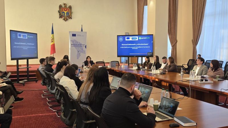
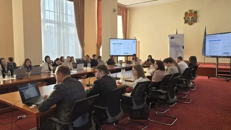
- Ghidul de modelare a datelor ce conține cerințele față de elaborarea modelelor de date* a fost prezentat către 24 participanți de la 15 instituții publice INDS în cadrul unui atelier de lucru,
- Au continuat lucrările la elaborarea unei metodologii de crearea și menținere a metadatele standard**. Experții au oferit descriere detaliată a multor elemente de metadate și codificările acestora cu exemple ilustrative,
- Furnizarea continuă a cunoștințelor și suportului în timpul procesului de achiziție a Geoportalului INDS***,
- Raportul privind armonizarea datelor, ce include îndrumările / recomandările pentru armonizarea datelor între diferite seturi de date, a fost finalizat și prezentat către 19 participanți din cadrul a 10 instituții publice INDS din Moldova,
- Cadrul tehnologic existent pentru INDS a fost revizuit, iar recomandări au fost prezentate pentru seturi și servicii de date spațiale, în baza standardelor tehnice internaționale,
- Planul de informare și comunicare INDS a fost finalizat și aprobat cu instituția ȚB,
- Hotărârea de Guvern nr. 254/2018 privind partajarea datelor a fost analizată, iar necesitățile de îmbunătățire au fost identificate.
În pofida circumstanțelor de lucru dată fiind pandemia de virus COVID-19 și restricțiile existente de călătorie, misiunile experților au fost foarte eficiente, cooperarea dintre partenerii implicați – intensivă, iar rezultatele și livrabilele proiectului au fost obținute în timp util, conform planului.
Proiectul are drept scop să contribuie în continuare la dezvoltarea INDS în Republica Moldova în baza Directivei UE INSPIRE. Infrastructura națională de date spațiale trebuie să devină un instrument funcțional pentru cetățeni, instituții publice și agenți economici, pentru a verifica informația relevantă privind proprietățile, infrastructura și aspectele de mediu, precum și un instrument de nădejde pentru autorități, pentru o planificare mai bună într-o gamă largă de politici sectoriale. INDS bine dezvoltată asigură evitarea dublării costurilor și eforturilor, și contribuie la îmbunătățirea proceselor de luare a deciziilor la nivel de stat.
* Un model de date este un model abstract care organizează elemente de date și standardizează modul în care acestea se raportează între ele și la proprietățile entităților din lumea reală.
** Metadatele sunt date despre date și reprezintă una dintre componentele de bază ale infrastructurii de date spațiale. Pentru a utiliza corect și eficient datele, este necesar să cunoașteți informații de bază despre acestea. Oamenii colectează și folosesc metadatele de multă vreme, în timp ce fac liste, inventare și alte înregistrări sistematice ale obiectelor sau fenomenelor pentru a obține o imagine de ansamblu asupra datelor colectate.
*** Geoportalul INDS servește ca punct de plecare pentru accesarea surselor de date spațiale care fac parte din INDS. Oferă servicii de colectare, căutare, vizualizare și descărcare a metadatelor. Prin utilizarea Geoportalului INDS, metadatele pot fi editate și menținute, sursele de date spațiale căutate, analizate și vizualizate, informații găsite în conformitate cu condițiile de utilizare a acestora și datele pot fi descărcate pentru utilizare.


